Campsites around Clark County
Original names for some landmarks are in parentheses. from The Columbian archives
Camp 1
Nov. 2, 1805 (Westbound)
After three days carrying their canoes and gear around the rapids between present day Stevenson, Wash., and Cascade Locks, Ore., Lewis and Clark and the Corps of Discovery continue down Columbia River. They stop at Beacon Rock, estimating height at 800 feet (actual: 848 feet), and continue past Cape Horn, camping on south shore near Rooster Rock.
Camp 2
Nov. 3, 1805 (Westbound)
Continuing downstream, they explore mouth of present day Sandy River and call it the Quicksand River. They spot seals at the mouth of a river on the north shore and name it Seal River, later to become the Washougal River. They make camp on north side of Diamond Island, now Government Island, where Interstate 205 crosses Columbia.
Camp 3
Nov. 4, 1805 (Westbound)
The explorers stop for dinner at a spot near the present Burlington Northern Santa Fe Railway bridge in Vancouver. A tomahawk pipe and coat belonging to the explorers are stolen by Indians so Lewis and Clark decide to move on and camp downstream near present day Post Office Lake and Knapp’s Landing. The next day they leave present day Clark County.
Camp 4
March 29, 1806 (Eastbound)
Homeward bound after a wet, dreary winter at Fort Clatsop, they stop to visit Cathlapotle, a Chinook Indian village with 14 long houses, near present day Ridgefield, between the mouths of Lake River and Gee Creek. From Cathlapotle, the explorers travel up Lake River and camp on mainland, probably just north of the confluence of Lake River and Bachelor Slough near present day Carty Lake.
Camp 5
March 30, 1806 (Eastbound)
Back on the Columbia River, they make their way to present day Vancouver area, camping opposite Hayden Island, then called Image Canoe Island, at same place they had stopped for dinner Nov. 4, 1805, when pipe and coat were stolen.
Camp 6
March 31-April 6, 1806 (Eastbound)
They continue east and set up camp in present day port area near Washougal’s 32nd Street. They plan to hunt and dry meat, believing game would be scarce in the Columbia River Gorge. They remain until April 6, making this their longest encampment in the area, eastbound or westbound.
Excursion from Camp 6
April 2, 1806
As hunting continues at the Washougal camp, Clark takes a party, including a native guide, back down the Columbia and finds the Willamette River, which they had missed going and coming because three islands concealed the mouth. They explore it at least to present day St. Johns neighborhood of Portland. They camp there the night of April 2. During this excursion, Clark sees Mount Adams and Mount St. Helens at the same time, becoming first white man to realize there were two different volcanic peaks in southern Washington. They rejoin main party at Washougal April 3.
Camp 7 and Beyond
April 6-13, 1806 (Eastbound)
Party departs Washougal but soon realizes meat is not thoroughly cured. They camp three nights at present day Bridal Veil on Oregon shore to further dry their meat. They then spend four days at present day Cascade Locks getting around the rapids before advancing on April 13 to present day Home Valley. A river flows out of the mountains there that they name the Cruzattes, after a member of the party. It later is renamed the Wind River.
On the Trail
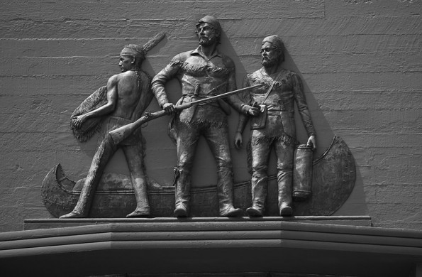
In 1804, Merriweather Lewis and William Clark set off to find a water route to the Pacific Ocean and to map and explore the Louisiana Purchase. Their journey took 2 years four months and sixteen days. They traveled approximately 6,000 miles by boat, canoe, horseback and on foot. Their historic journey provided the nation with valuable information about the western territory, trails for settlers traveling west as well as useful support for the United States claim on Oregon Territory. Lewis and Clark began their journey near St. Louis, IL and traveled as far as what is now modern day Astoria, OR. There are many plans for the 200th year anniversary of this great exploration effort, much of which includes marking of historical campsites along the trail.
Bicentennial Celebration
Read past articles from The Columbian:
Rediscovering Clark County’s own Atlantis
Clark finally receives his captains bars
Bicentennial opens path for cultural healing
A manifest journey in mapmaking ghost
Station camp may get its historical due
State signs to honor American Indians
Beach holds key spot in tracing of journey
Jewel of a name just might return
Bicentennial Facts
Celebration: From 2003 to 2006, in towns and states all along the route from near St. Louis to the Pacific Ocean, the 200th anniversary of the Lewis and Clark Expedition will be celebrated